Tuesday, March 17, 2015

Auby's Blog #Yurt or Bust

It's been awhile since our last blog.  Auby chose a lateral move within the organization, he will be team lead for the accounting department.   As CEO I have taken over social media for Auby's Adventures LLC.  I am reporting on recent trip to the Grand Canyon.

 We received our permits for our backpacking trip which had a note:  Aggressive Itenerary, North Rim Closed!  Hiker insisted on Itinerary.  I accept their vote of confidence and prepared for Yurt or Bust on the North Rim of the Grand Canyon.


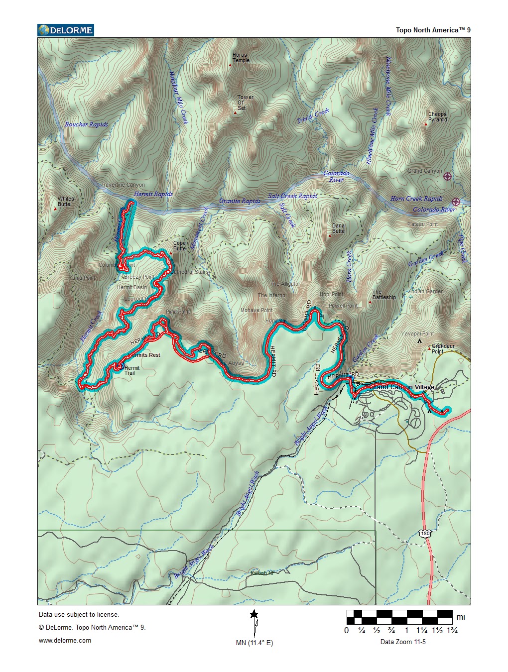
At the beginning of the trail there were signs of a recent storm that passed through weeks before our hiking date which was set on Tuesday March 11th 2015.  We brought crampons which wrapped around our shoes and had spikes on the heels and balls of our feet.  A couple of sketchy spots with ice were no problem with traction.  The South Kaibab trail descends 7 miles with 4,780 feet until you reach the bridge which gets you over the Colorado River and onto Phantom Ranch.


We passed through Phantom Ranch Campground (7.2 miles with 1,600 feet of elevation gain) on our first day to hike up the box onto Cottonwood Campground.  This was a tough day due to the distance and slight uphill elevation gain once passing the Colorado River.  The best part about this trip was the temperatures where very moderate as you don't want to be stuck in the box midday during hotter months.  Cottonwood is a nice campground located on the Bright Angel Creek Nestled just below the North Rim.  The hike from Cottonwood to the North Kaibab Trail Head consist of 6.8 miles with 4,161 feet of elevation gain.

The North Kaibab Trail had a nice mixture of snow, running water, ice, and falling debris.  The trail demanded full attention at all times, and the snow at the top made for a calorie burning extravaganza.  There are bridges, tunnels, some exposure, and fantastic views.

   
I was very impressed with how the yurt was properly maintained and provided dry wood, axe and wood buring stove to heat up our socks, shoes, clothes etc.  It was a short hike to get to the yurt, and it was a bit difficult to find.  We got to the yurt early enough to consider another hike to get to the Lodge on the North Rim.  The patio at this lodge provides excellent views of the Bright Angel Corridor leading down to the Colorado River.  I took a panoramic picture which gives the view no justice.

The hike between this lodge and the yurt was about 1.5 miles in packed snow.  There were a couple of snowmobiles which packed the snow on the way to the Lodge.  We spent some time on the patio and tried to charge our phones make calls and upload pictures.  We hiked back to the yurt and I cooked up one of my new favorite backpacking meals.  I like to cook lentils with summer sausage along with pre packed dried noodles with spices.  This combination provided plenty of nutrients along with the necessary calories and protein.  The next day was get down the North Rim and onto Phantom Ranch Camp Ground.  We had no issues on this trip through the box thanks to cool temperatures.  We spent the night in the campground not without standing a trip to the Cantina for a couple of Tecates.  Ending in the grunt up the South Kaibab trail and the end of this excellent adventure.

This hike was made in association with Stoltenberg Enterprises.


Thursday, August 25, 2011

Auby's Blog # Down in the Havasupai!

This unique backpacking experience provides outdoor enthusiast a solid backpack/hiking challenge followed by overwhelming rewards.  There are no roads, no tom hillbilly 4X4 trails leading into the town of Supai, AZ.  The only form of transportation outside of taking mules down is by helicopter or by foot.  This isolated town was founded by the Havasupai tribe centuries ago.  Hiking down the Havasu trail is a unique opportunity to get a grasp on how the Grand Canyon and it's tributaries were formed.  Through my research on the creation of the Grand Canyon and the Geological evidence left to us today.  I will spare the reader the technical theoretical views I have on the creation of the Grand Canyon.  However, it becomes evident to me that the large floods in recent past in the Havasu Canyon provide a glimps of the destruction and power rendered by a large storm/damn failure.  The Havasu creek is formed by the snow and water runoff above the canyon as it flows down cataract(havasu canyon) it joins an underground stream at Havasu Springs.  The large amounts of limestone provide the creek with an abundant amount of Calcium Carbonate which lies at the bottom and reflects the blue-green color the human eye receives.  Yea, chemistry and that periodic table  as calcium is bonded to carbonate and oxygen to the third power.  Sure it sounds like a Beck song, but it's a molecule.
     Hikers will want to get an early start on the hike in the summer months as the temperatures get close to a hundred degrees in the canyon.  The Wualapai Hilltop trailhead to the village of Supai is about 8 miles, and there is a small store and cafe providing cold drinks and hot food.  Hike in another couple of miles to pass by the new rock springs and attain your destination at the campgrounds.
Another reason to get an early start prior 5am is to attain a nice camping spot next to the creek and not far from the one spring providing drinking water in the campground.  As the core body temperature rises and the body secrets the necessary sweat the hiker must regulate their electrolyte, and H2O intake.  In other words it feels real nice eating some real food and sitting in the sub 70 degree creek to cool off after a 10 mile trek through the desert.  A favorite destination below the campgrounds would be beaver falls which is a scenic cascade of several waterfalls creating sublime swimming holes.  To reach this beautiful destination, I recommend an early day hike.  Hikers pass through a rare riparian landscape in route to beaver falls and the Havasu creeks seems to take on a true Caribbean blue.


Monday, July 11, 2011

Auby's Blog # Hermits Rest


The South Rim at the Grand Canyon is an amazing place in July when the monsoon storm present heavy isolated thunderstorms on a regular basis.  While the weary souls are getting cooked in the basin down below; the South Rim offers an evening within the 60 degree range.  Once inside the park people are given a full spectrum of lodging options starting at the high end El Tovar to the Hermit style Mather Campground.  I opted for the later and went green with the mountain bike as the preferred mode of transportation.  I recommend the Rim trail which traverses along the rim's edge for several miles offering varied viewing options.  The map above outlines the path taken on the mountain bike from the campground to the Hermit's Rest trail head.  This 10 mile section along the rim is astounding ride which includes several lookouts and a John Wesley Powell Memorial; along with a 3mile section of the Hermit Road Greenway trail for bicycles:
Hermit Road Greenway Trail Map
  I have included several pics from the many view points available along the Hermit Road:

After bangin the pedals on the big blue beast I arrived at the Hermit Rest Trail head.  A very savvy young ranger lady greeted me at the trail head and provided history and information.  A small souvenir store along with a snack bar are a welcome sight for tired and hungry hikers.  Hermit trail offers a couple options for water along the long traverse to the Colorado river.  The Santa Maria spring enables thirsty hikers an opportunity to hydrate before hitting the steep inclines which lie above.
Starting out at 6,600 feet in elevation the weather is cool deceiving, as the day begins to heat up and the lower elevations give way to sweltering heat a hiker must be cautious.  Hermits creek offers another opportunity to hydrate and cool down:

  The Colorado was a welcome sight as it offered 45 degree relief to the 105 degree heat.  The Colorado river has many sections with raging rapids and at the confluence of the Hermit Creek there was no exception. The remanence of previous heavy flooding leaves huge boulders which create Hermit Rapids:
This must be a popular section for rafters sliding down the river within the inner gorge.  A word of caution in reference to this hike.  I wasn't expecting to see anyone else challenging this Hermit in the middle of July.  So, proper provisions are a must and drinking over 7 liters was invaluable.  This ride/hike was a true test and was a worthy adversary.

Wednesday, June 1, 2011

Auby's Blog #Grand Canyon R2R2R 2011

Deep within it's steep canyon walls the mind starts to negotiate with it's hiker alter ego.  Why are we hiking 25 miles within this inverted mountain?  Where is the meaning behind such a conquest?  Alter Ego reminds the mind and obtains the memories of running miles on a tread mill, and hiking hundreds of miles of trails.  Ego insists head back into the this great expanse and emerge onto the Coconino Plateau.  Personal conquest set aside, the true motivation is derived by achieving the appropriate fitness regimen.  The Goal: to hike the main corridor from the South Rim (Canyon Village) to the North Rim (Lodge and Cabins), and with a days rest hike back from the North Rim to the South Rim.  A astounding 46 total miles with an accumulative elevation gain of over 26,000  feet.   I have uploaded an image of the track files outlining both hikes:


A group of dedicated hikers have been setting this fitness goal for the past three years.  Some hikers opt to ride back with the luggage monkey, some hikers opt to hike the grueling 25 mile segment up the bright angel trail which leads back to the Grand Canyon Village.  At any rate having a dedicated luggage monkey waiting for you to arrive at the North Rim is priceless.  Taken with great pride the luggage monkey offers an assortment of tasty foods and beverages for the weary hikers.  The change in climate and elevation becomes overwhelmingly evident; after receiving a light dusting of snow on the North Rim and entering into an enduring  95degree canyon floor.  Hikers are often reminded of the elevation gain or loss indicated by the differing color of specific layers found in the Grand Canyon.  Given a day of relaxation between the grueling hikes offers unique photo shoot opportunities as we drive to remote vistas on the Kaibab Plateau.   I have uploaded a couple of picture we were able to take:


The North Rim offers top notch ambiance with spectacular views.  I have included a link to the Guide in PDF format for the North Rim at the Grand Canyon.  Auby's Adventures has received acceptance from the NPS at the Grand Canyon to begin day hiking tours in July of this year.  Hiking in the Canyon is challenging, but it is very rewarding if you stay within your physical limitations.  A huge motivation factor is achieved by setting hiking goals within the Canyon.  I encourage everyone to set some fitness goals to get started.  

Tuesday, May 3, 2011

Auby's Blog #CA

It was a vague memory stored in a megabyte format deep within this hard drive.  The visual similarities prompted the processor to engage the selected memory.  The cool breeze hitting my hair which actually attained the molecule known as H2O.  The ever present smell of the oceanic ecosystem, and the visual pleasantry of the sun setting along the rolling ocean waves.  It may have very well been the senses triggering the mind, at any rate I was back in Malibu, CA.  I was fortunate enough to be staying at house nestled right up on the pacific ocean:

Once I had arrived I began to navigate a route to a long favorite destination along the pacific coast line.  The route would involve riding along the Pacific Coast Highway until merging with the "Strand" (multi-usage pathway).  The strand connects several beaches:  Santa Monica, Venice, Manhattan, Hermosa, and Redondo to name a few.  The Santa Monica Promenade http://www.thirdstreetpromenade.com/visitors/index.html was well visited vacation destination for this Zonan and friends while growing up.  Once on the strand a rider will go under the Santa Monica Pier through a tunnel and enter into a strange like circus known as Venice Beach.  I believe this beach and the many characters whom "reside" there may be immune to the process known as the perception of time.  The smell of marijuana lingers in the air as the medical marijuana bulletin boards promote a doctors prescription.  The strand offers visual stimulation unlike the city streets found within the valley of the sun.  Hermosa Beach was a welcome sight as I had some bike adjustments to make and Hermosa Cyclery http://www.hermosacyclery.com/ actually offered tools outside the shop for adjustments.  Many props to that bike shop and the scenic variety of retail shops along Pier Ave.  While drinking a couple of brews at the Poop Deck I was referred to the Redondo Fish Market for some lunch.  Very good selection of seafood at very reasonable prices.  The marketing may have been the final push for me to hit the place up:

After fueling up on fish, frys, oysters, and beer I was ready to take on the headwinds and ride back to Malibu.  I would like to promote Tom's Shoes http://www.toms.com/ as they are making a difference in peoples lives.  I would also like to give another shout out to the Cosmopolitan Hotel http://www.cosmopolitanlasvegas.com/ as they have offered Auby's Adventures another stay for the Flaming Lips concert on June 17th at the Boulevard Pool.

Tuesday, March 29, 2011

Auby Blog #Vegas/Camelback Ramblings

On a road trip from Phoenix to Vegas via the new Mike O'Callaghan/Pat Tillman bridge.  The Patt Tillman foundation coordinates Pat's run http://www.pattillmanfoundation.org/pats-run/ which is on April 16th.  If you register before April 9th it's $42 opposed to $50.00 for race week.  I have yet to participate in this run, but I am there this year!!!  Who's going with me?  Who doesn't want to end a 4 plus mile run on the 42 yard line at Sun Devil Stadium?  Ok, my Pat Tillman plug/rambling is over back to the meat of this blog.
I believe the trip time was significantly reduced due to the new Hoover Dam Bypass bridge
http://www.hooverdambypass.org/.  As the designated trip mule I provided a cooler full of beverages and food for my fellow revelers.  I don't want to mention how everything on the Las Vegas Strip is extremely over priced.  Well, yes that is just a part of Vegas a visitor just has to take in stride.  It's like a spiritual vortex except the money gets sucked into a black hole, with no personal or spiritual attainment.  What is the attraction?  Why are all these people walking aimlessly down this street called the strip?  To quote Hunter S Thompson:  "There was madness in any direction, at any hour.  You could strike sparks anywhere.  There was a fantastic universal sense that anything we were doing was right, that we were winning."  We find ourselves gambling at a Baccarat table being served by beautiful women at 4am in the morning.  Just like previous trips to this self induced tourist trap which specializes masochism.  There was going to be a certain justification for my actions.  Payment for my sins.  It was like all the other trips, the ride home was unbearable and ungodly.


   Hey Auby.  Isn't this blog suppose to be about hiking?  Ah yes.  It was a hike up the back side of the Camelback in South Scottsdale.  The Chola trail offers a subtle start to a more torrid segment which leads to the summit.  This trail is a nice alternative to the more popular Echo Canyon trail head.  Many people ask about dog friendly hikes, and this is one of them.  However, with dogs I recommend hiking to the pad of pavement short of the torrid segment to the top.  It must be prime time for hiking Camelback, as there were a bunch of hikers a top the summit enjoying a near perfect March day.  As the weather heats up I recommend heading to higher elevations.  I am planning a hiking trip in early April to 4peaks to try and escape the heat.  Any takers?  Let me know.     


Saturday, March 12, 2011

Auby's Blog #Granite Please

It was an erect crumbling conglomeration of large granite slabs standing proud against the elements.  Pressurized and subjected to unimaginable heat well beneath the earth's crust, this granite composition is classified as metamorphic rock.  The granite's unique combination of igneous and sedimentary rock, subjected to the earth's ever wielding tectonic powers.  The Mcdowell Mountains offer several hiking options with even more climbing opportunities.  I prefer mountain biking as the risk levels are much lower with more fitness potential.  At any rate if rock climbing is an engaging activity for you, this place would be a nice challenge.  So, if you don't know a carabiner from a spring loaded camming device; I would suggest hiking any number of trails within the County Park.  The Tom's Thumb hike is accessible via the Dynamite Road turn off and heading south on 128th street (Scottsdale).  Starting at the Northern end of this range allows for nice views of the Cave Creek area.  The track log presented below will portray the traverse into this crumbling oasis of granite boulders.
   With Spring training in high gear I recommend the new Talking Stick (Salt River Field) as they provide SPF 30 for free via a dispenser at several locations in the outfield.  Any ballpark offering sunscreen has the fans best interest in mind.  The park's going to get your cash, so paying $8.00 for a beer and $9.00 for a burger helps subsidize I guess.  However, old time spring training gurus will know what is legal to transit into this rendition of Disney Land and Alice in Wonderland.  These ballparks offer a huge variety of fans from age >6month with vast baseball knowledge to fans <65 with very low baseball knowledge.  Equals an entertaining afternoon at Camelback Ranch ballpark on the wes westside!!! The route was pondered and later plotted after contemplating the options available on google maps version 11.2 using the cycling algorithm.  Plotted deep into the some times susceptible memory banks for this every evolving mind.  Where are all the circle K's in this rundown town they call Phoenix?  The challenge was rewarded by a true luxurious location achieved by a flight through the wickets.  Given the scenery wasn't the best the city has to offer, and the drivers adverse attitude towards bikers.  This thought brings the story of the recent PF Changs marathon runner Sally Meyerhoff AZ runner killed in bicycle accident incident to mind.  I believe we can learn from this tragedy as both riders and drivers should be more alert while traveling in this valley.    The "flight" translated into the 73 mile round trip mountain bike ride predominantly on the side banks of the grand canal.  The detailed one way map below outlines the incident I mean workout session.  Hmm a nice Full Sail Session Lager comes to mind, a track log from my desk to the refrigerator is located on the attached document.